Welcome! Becoming a registered user of ShortWingPipers.Org is free and easy! Click the "Register" link found in the upper right hand corner of this screen. It's easy and you can then join the fun posting and learning about Short Wing Pipers!
I saw that earlier today on the prelim data https://www.asias.faa.gov/apex/f?p=100:93:::NO:::
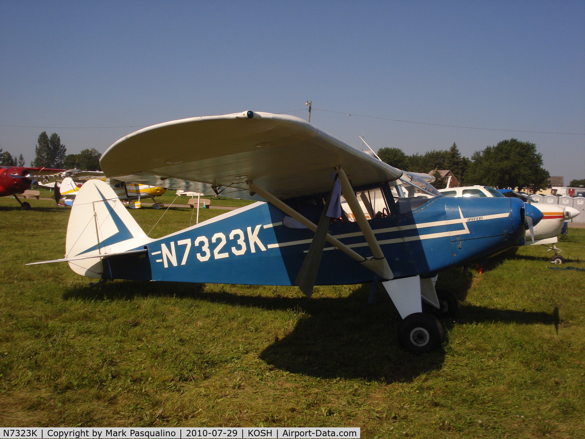
2 fatal Piper accidents yesterday, PA20 and a PA28 both crashed under unknown circumstances.. hopefully not more fuel selector problems.
Wow, That was when he left Md Airport 2W5. I did not meet him but saw his aircraft parked there. Other guys at out Old pilots day care center that spoke to him remarked that was a younger somewhat new pilot and was touring the country with intentions of stopping in all the lower 48. He rode his bicycle into Wash. DC while he was here.
When he took off from 2W5 for southern VA it was in light rain and marginal weather. The Old Guys were not comfortable with the conditions and advised him so.
Looks like he never made it over the mountains.
God Speed
Last edited by DrHook3960; 09-04-2020 at 06:35 AM.
Wow, That was when he left Md Airport 2W5. I did not meet him but saw his aircraft parked there. Other guys at out Old pilots day care center that spoke to him remarked that was a younger somewhat new pilot and was touring the country with intentions of stopping in all the lower 48. He rode his bicycle into Wash. DC while he was here.
When he took off from 2W5 for southern VA it was in light rain and marginal weather. The Old Guys were not comfortable with the conditions and advised him so.
Looks like he never made it over the mountains.
God Speed
Based on his ADS-B track, it looks like he couldn't clear the Blue Ridge and tried to do a 180. I have flown those hills many times during the 19 years I lived in the DC area. They are no place to be in marginal weather.
Based on his ADS-B track, it looks like he couldn't clear the Blue Ridge and tried to do a 180. I have flown those hills many times during the 19 years I lived in the DC area. They are no place to be in marginal weather.
Looking at the altitude profile it appears he was climbing throughout the turn. ADSB technology really helps Investigators with determination of the most likely cause of an accident. This track information together with the poor weather sort of sums up the accident I would think.
I am based 32 NM North of Luray, VA at KOKV. I was working in my hangar on Monday the 31st when the accident happened. It was a good IFR day at Winchester, VA with rain, visibility about 5 miles, except in the heavier rain showers. Ceilings varied all day depending when the rain showers moved through. Wasn’t a good to fly VFR across the mountains, as far as I’m concerned.
Based on his ADS-B track, it looks like he couldn't clear the Blue Ridge and tried to do a 180. I have flown those hills many times during the 19 years I lived in the DC area. They are no place to be in marginal weather.
His last ADS-B returns are pretty spotty and were preceded by a 17 minute gap, so it's hard to say what sort of maneuvering he did prior to his 180, but according to the track log he was at 4,500 during the 180. From the sectional, 4,500 looks to be above the terrain he had been heading towards (the highest nearby peak is 4,050 and the MEF for the quadrant he was flying in was 4,400.)
Instead of terrain, I think he was turning around due to the weather he was facing ahead. Luray, 10 nm in front of him, was reporting an overcast at his altitude and several broken layers below around the time of the accident.
From one of the cockpit photos the pilot posted, it appears he did not have an attitude indicator installed in the panel of his Pacer. If so, it would have been easy for a new pilot without an instrument rating to become disoriented performing an unplanned 180 under such marginal conditions.
Instead of terrain, I think he was turning around due to the weather he was facing ahead. Luray, 10 nm in front of him, was reporting an overcast at his altitude and several broken layers below around the time of the accident.
According to FlightAware, the final ADS-B hit was approximately 1858 local (EDT), which should be 2258Z on Aug 31. Not sure what happened, but the METARs you show are all past 0001Z on Sep 1.
Shouldn't these should be the applicable METARs near the time of the mishap:


 Thanks:
  Likes:


 Reply With Quote